Up to 2¾ inches of rain could fall on San Jose by Wednesday night, and forecasters now flag a flash-flood risk for the Bay Area
Monday’s rain clears this afternoon and Tuesday stays mostly dry and chilly. The bigger storm arrives Tuesday night with strong south winds and a chance of thunderstorms.

San Jose’s rain gauges get a short break before the week’s biggest storm. The National Weather Service’s San Jose forecast, updated early Monday, calls for rain after 10 p.m. Tuesday, with half to three-quarters of an inch overnight and 1 to 2 inches more on Wednesday.
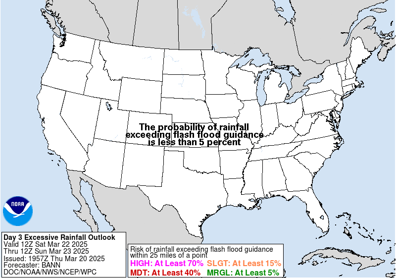
The weather service’s Weather Prediction Center now puts much of the Bay Area in a “slight” risk of excessive rainfall from Wednesday morning into early Thursday. That means at least a 15% chance that rain will be heavy enough to cause flash flooding within 25 miles of any given spot.
Strong south winds ahead of the front may bring a wind advisory late Tuesday night through Wednesday, the Bay Area office said. Thunderstorms become more likely Wednesday evening into Thursday, and forecasters said strong gusts are the main worry if they form. Showers linger Thursday and taper off Friday.
Today and tonight
Monday’s rain moves south and out by early afternoon, leaving scattered showers and highs 5 to 10 degrees below normal. San Jose’s low tonight is forecast near 40, with patchy fog by morning. The weather service decided against a cold weather advisory for now. On the coast, a high surf advisory runs until 4 a.m. Tuesday, with breakers of 20 to 25 feet and sets of 25 to 35 feet at spots such as Mavericks.
What it means
Wednesday’s commutes could be wet and slow, and heavy downpours can flood low roads and underpasses fast. Clear storm drains and gutters near your home Tuesday, and secure patio furniture before the wind picks up. Valley Water lists free sandbag sites at valleywater.org/sandbags. Another storm is expected to start Saturday.
Source: National Weather Service Bay Area forecast discussion, San Jose forecast, Weather Prediction Center rainfall outlook and Valley Water.
- National Weather Service San Francisco Bay Area, Area Forecast Discussion, issued Nov. 16, 2026, 4:14 a.m. PST (short and long term sections issued 12:25 a.m. PST)
- National Weather Service San Francisco Bay Area, gridpoint forecast for San Jose (MTR 99,82), updated Nov. 16, 2026, 4:18 a.m. PST
- NOAA/NWS Weather Prediction Center, Day 3 Excessive Rainfall Outlook, valid 4 a.m. PST Nov. 18 to 4 a.m. PST Nov. 19, issued Nov. 16, 2026, 12:19 a.m. PST
- Valley Water, sandbag locations