Forecasters say this week’s storm could even spin up a waterspout or an isolated tornado, on top of 70 mph gusts in the East Bay hills
Today is dry and chilly. Wind and rain arrive overnight, and the National Weather Service warns the Wednesday morning commute “will be messy for most.”

The week’s biggest storm reaches the Bay Area tonight, and the National Weather Service says it is unstable enough that waterspouts or an isolated tornado are possible Thursday morning into early afternoon. Cold air aloft passing over unusually warm ocean water, in the 60s, sets up that risk, the Bay Area office said early Tuesday.
Wind comes first. A high wind warning for the East Bay hills runs from 9 p.m. Tuesday to 1 p.m. Wednesday, with south winds of 25 to 35 mph and gusts up to 70 mph, strongest around the Altamont Pass. The weather service said widespread power outages are possible there. Wind advisories for the same hours cover the Pacific coast, including San Francisco and the Peninsula coast, and the East Bay interior valleys, with gusts up to 50 mph.
How much rain
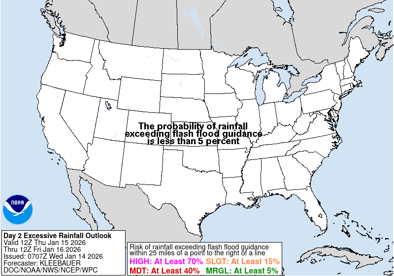
The Bay Area office expects 1 to 2 inches in rain-shadowed valleys, 1½ to 2½ inches across the rest of the Bay Area, 2 to 3½ inches in the North Bay and 3 to 5 inches in the Santa Cruz Mountains. Minor flooding is possible, especially under thunderstorms. The Weather Prediction Center puts much of the Bay Area and Central Coast in a “slight” risk of flooding rain from 4 a.m. Wednesday to 4 a.m. Thursday.
For San Jose, the weather service’s point forecast calls for rain after 2 a.m. Wednesday and adds up to roughly 2¼ to 4 inches by Thursday evening, with thunderstorms possible from late Wednesday morning into Thursday. Gusts in the city are forecast to reach about 30 mph, and Santa Clara Valley is not under a wind advisory.
What it means
Leave extra time for the Wednesday commute, and avoid flooded underpasses. Secure patio furniture and trash cans before bedtime tonight. Stay off coastal rocks: a beach hazards statement runs through Wednesday afternoon. Friday looks mostly dry, with cold mornings in the low to mid-30s in North and East Bay valleys, and another storm is forecast to start Saturday.
Source: National Weather Service Bay Area forecast discussion, high wind warning, wind advisory, San Jose forecast and Weather Prediction Center rainfall outlook.
- National Weather Service San Francisco Bay Area, Area Forecast Discussion, issued Nov. 17, 2026, 4:26 a.m. PST (key messages, short and long term issued 12:02 a.m. PST)
- National Weather Service San Francisco Bay Area, High Wind Warning for the East Bay Hills, issued Nov. 16, 2026, 1:40 p.m. PST
- National Weather Service San Francisco Bay Area, Wind Advisory for the Pacific Coast (East Bay Interior Valleys in companion segment), issued Nov. 16, 2026, 1:40 p.m. PST
- National Weather Service San Francisco Bay Area, gridpoint forecast for San Jose (MTR 99,82), updated Nov. 17, 2026, 3:46 a.m. PST
- NOAA/NWS Weather Prediction Center, Day 2 Excessive Rainfall Outlook, valid 4 a.m. PST Nov. 18 to 4 a.m. PST Nov. 19, issued Nov. 17, 2026, 12:20 a.m. PST